

Map & POIs
POI-first map with clustering and live GPS layer
The map is POI-first: no mandatory site/building/floor hierarchy. Points of interest carry emoji pictograms, free location detail and attachments — devices, media, tours, dashboards attach to POIs through generic resource edges, and devices are POIs too.
Layers
- Clustering: backend-computed clusters for large fleets.
- GPS layer: live positions of GPS-equipped devices (geofencing socle).
- Filters: device, GPS, emoji pictograms.
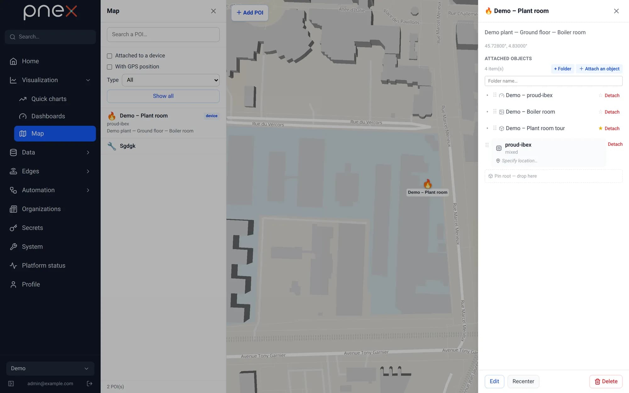
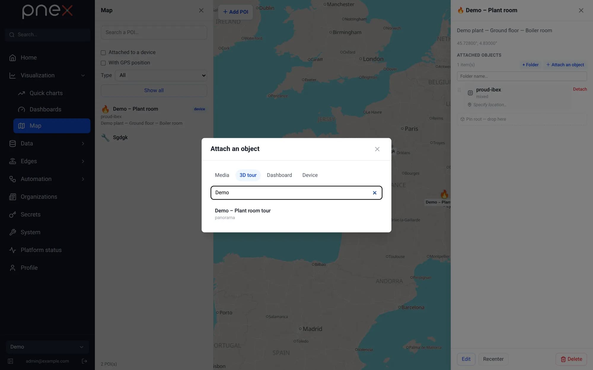
Built on MapLibre GL with vector tiles (Protomaps), the map is a first-class page, not an embedded widget.